@ Welcome to NGOMEZ ENGINEERING
Surveying at the heart of sustainable development
We measure, model and restitute your territory as high-value decision-ready intelligence — for your real estate, land, infrastructure and development projects.
Initialising · NGOMEZ ENGINEERING
Land surveying at the heart of sustainable development
Loading section
We measure, model and restitute your territory as high-value decision-ready intelligence — for your real estate, land, infrastructure and development projects.
Chartered Land Surveyors & Consulting Engineers. Building tomorrow, one point at a time — from topographic surveys to BIM modelling, from land expertise to UAV innovation.
01 / Visual manifesto
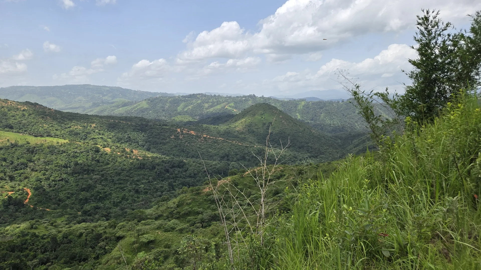
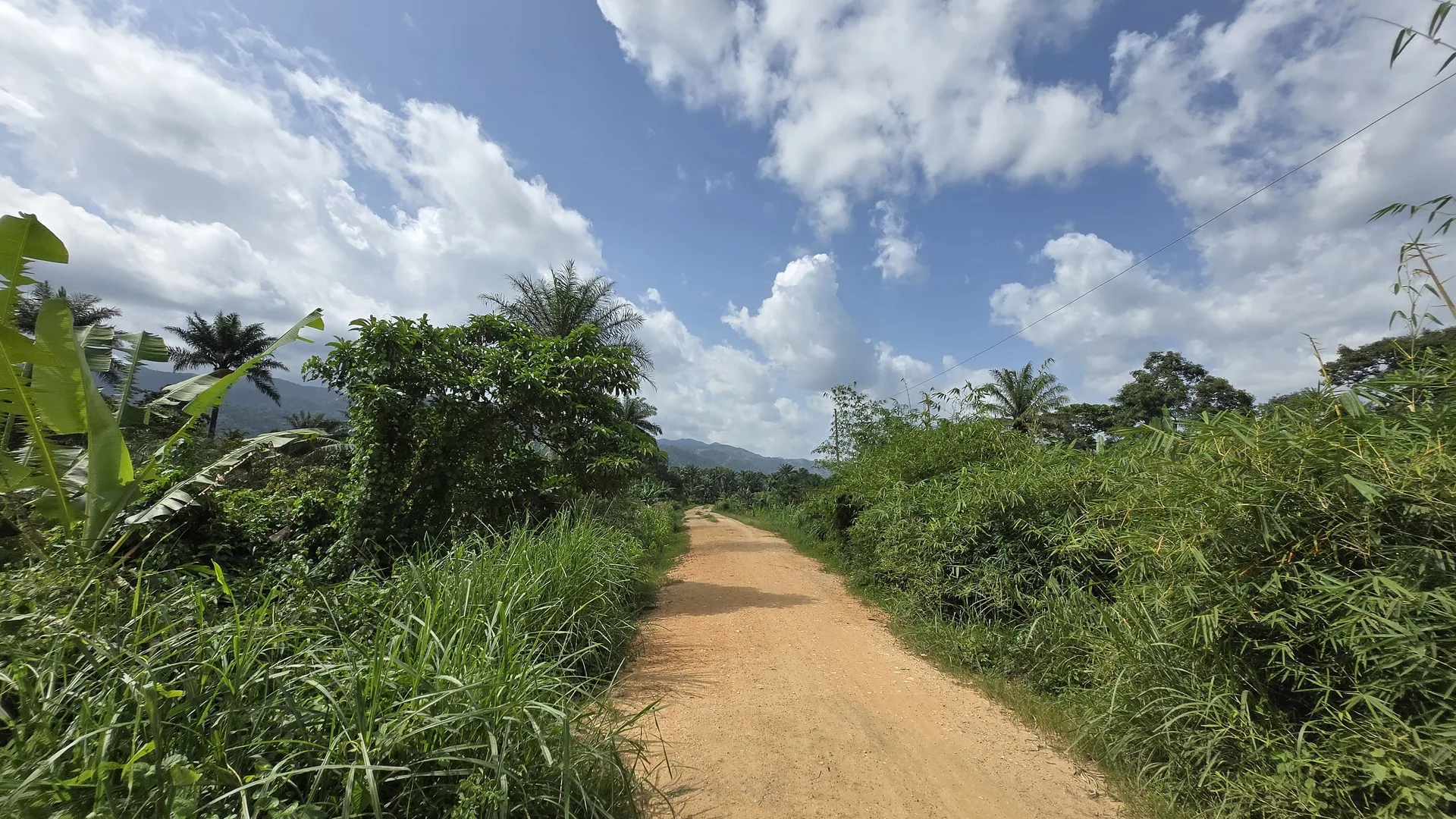
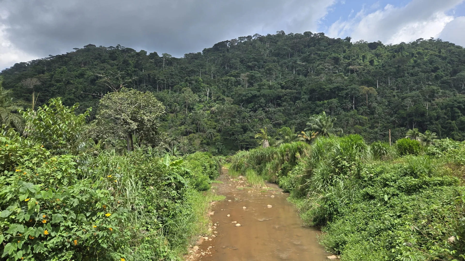
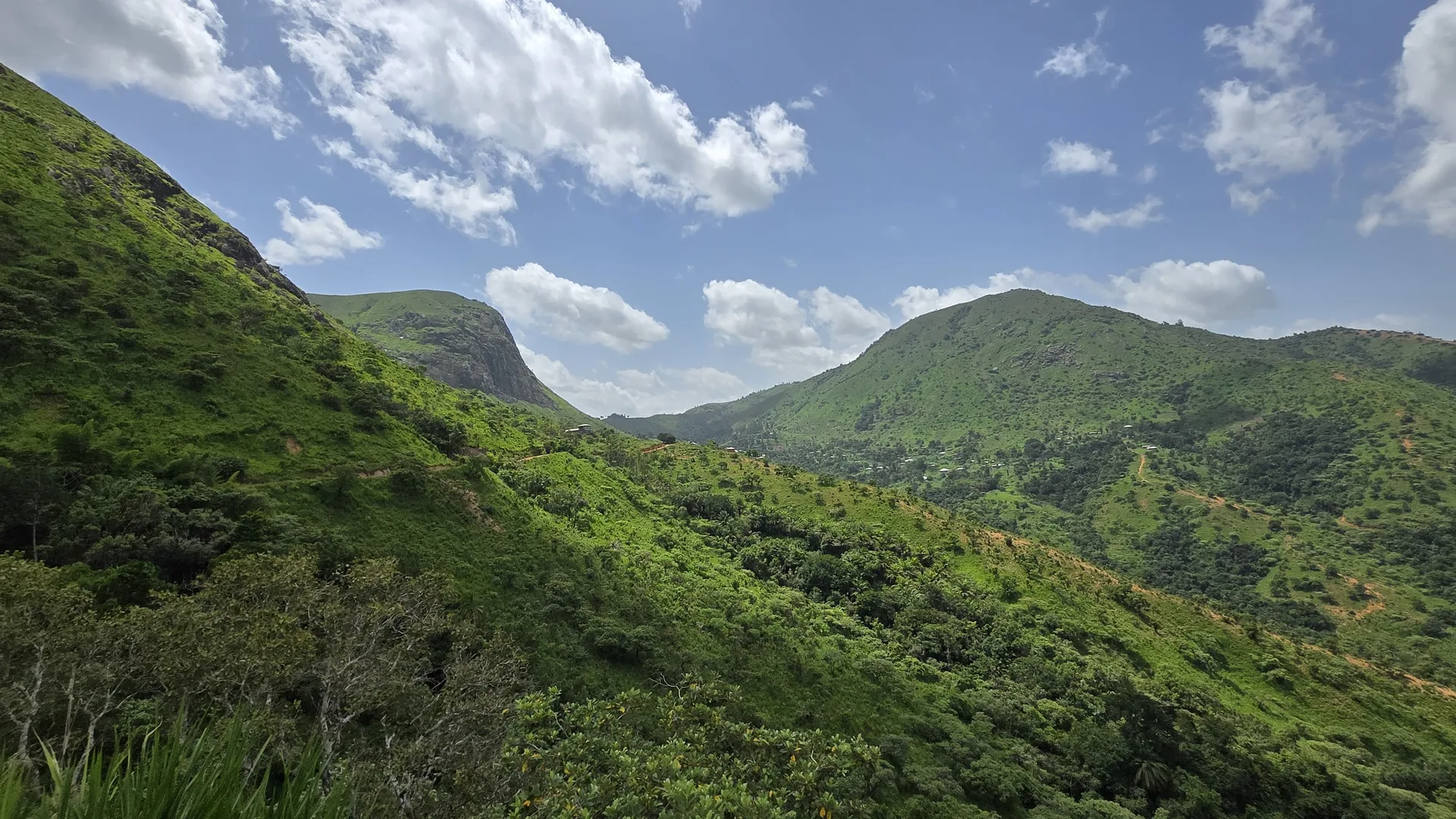
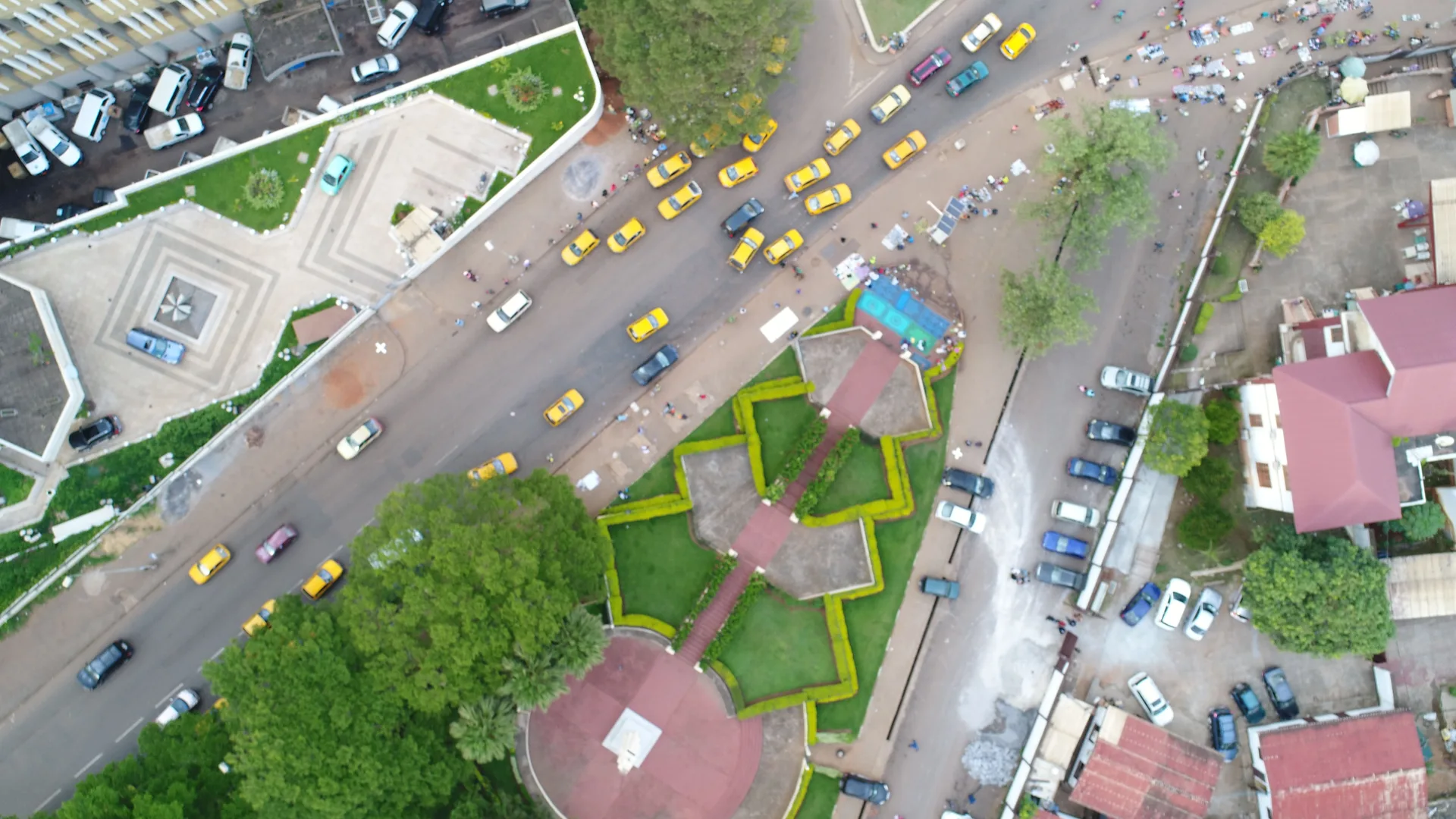
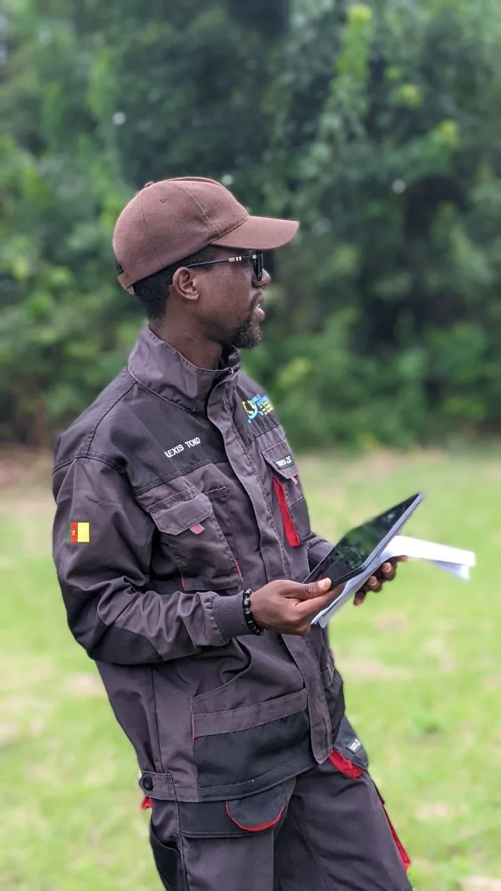
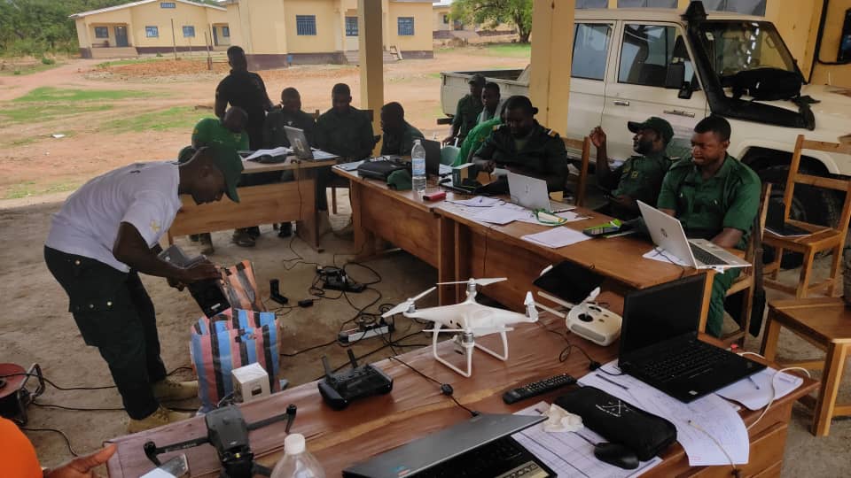
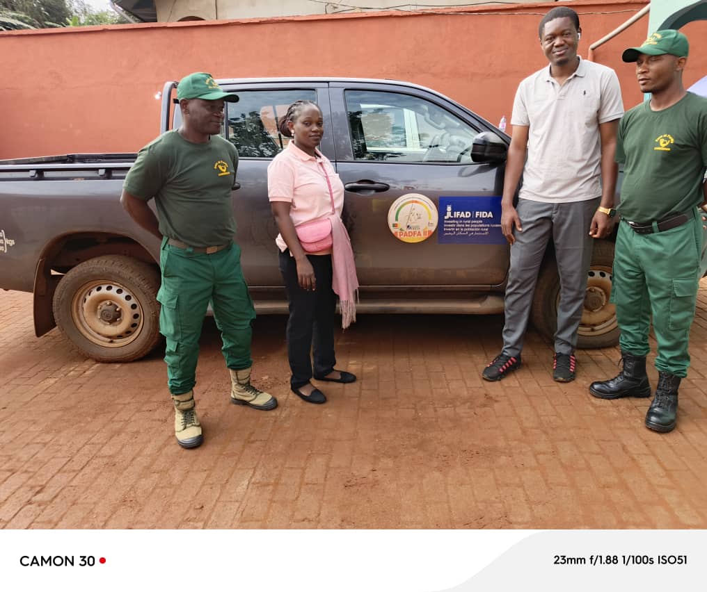
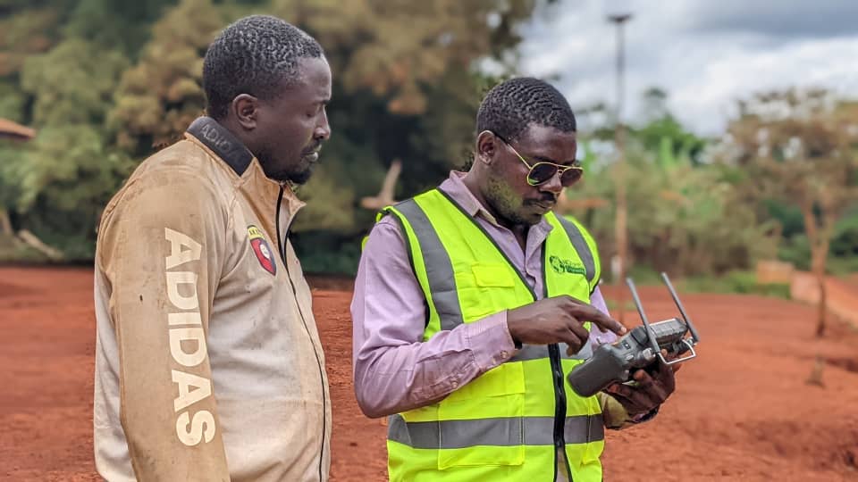
From the boundary marker driven into the ground to the digital twin delivered, every mission begins with the rigour of a single point. That initial measurement is the bedrock on which our entire value chain rests: from securing land tenure to civil engineering, from BIM modelling to UAV innovation. At NGOMEZ ENGINEERING, we do not settle for measuring the present — we master the full data cycle, turning raw measurements into decision-grade information. Because the reliability of your works depends on their geospatial foundations, we commit our expertise to inform your decisions and secure your investments. Discover how NGOMEZ ENGINEERING brings its know-how — from the field to the digital twin — into the heart of your projects. A glimpse of our daily operations.
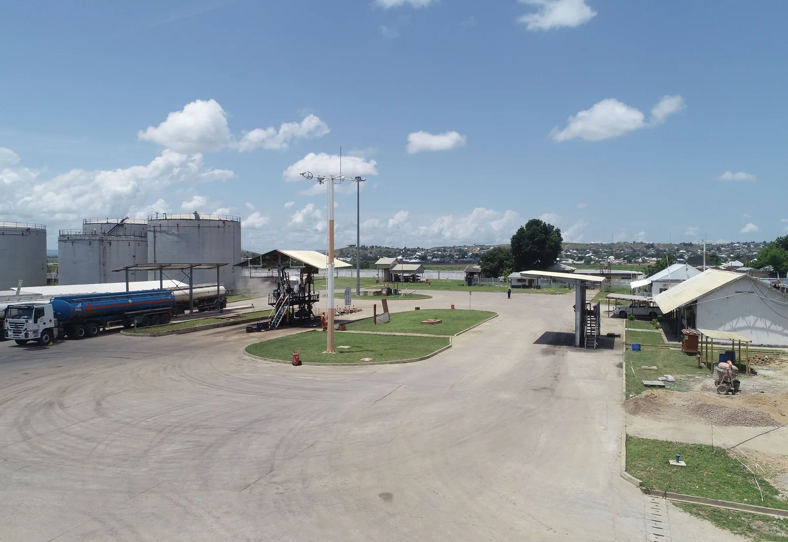
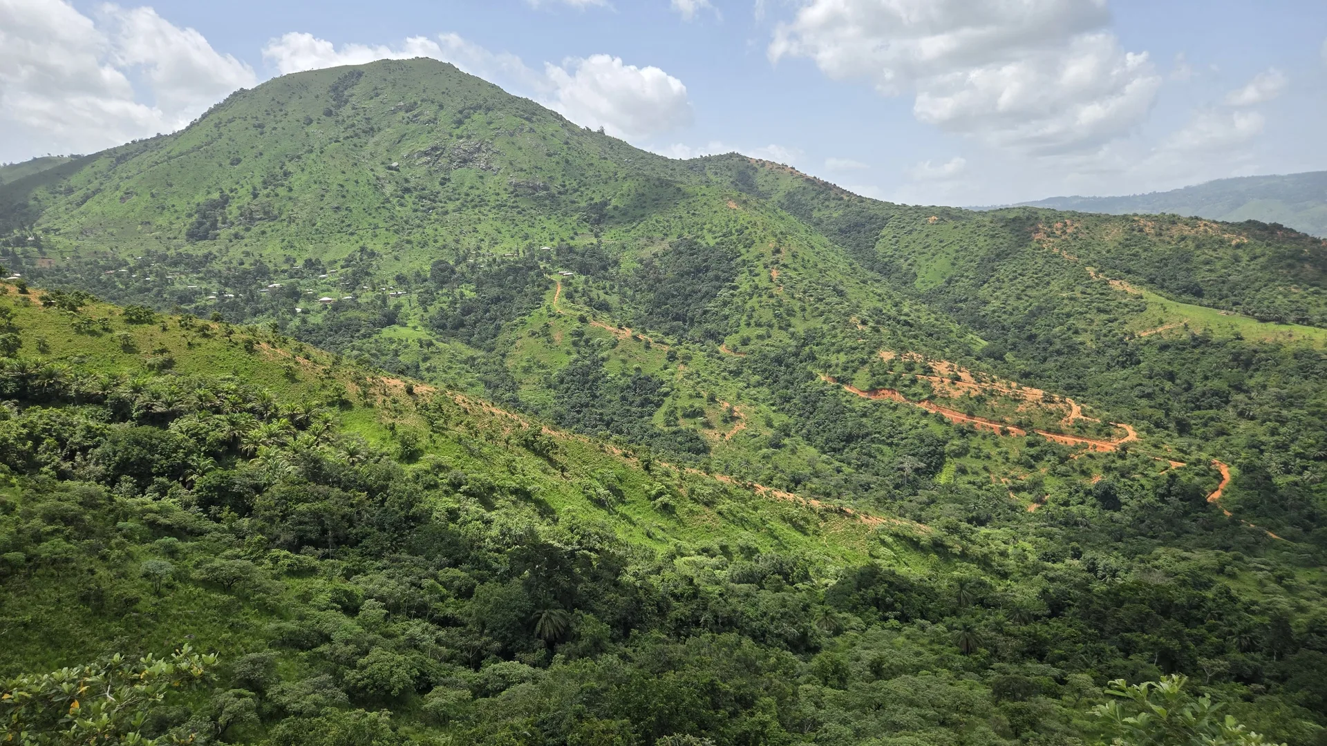
Topographie Industrielle sur le site de dépôt pétrolier de Garoua (Industrie)
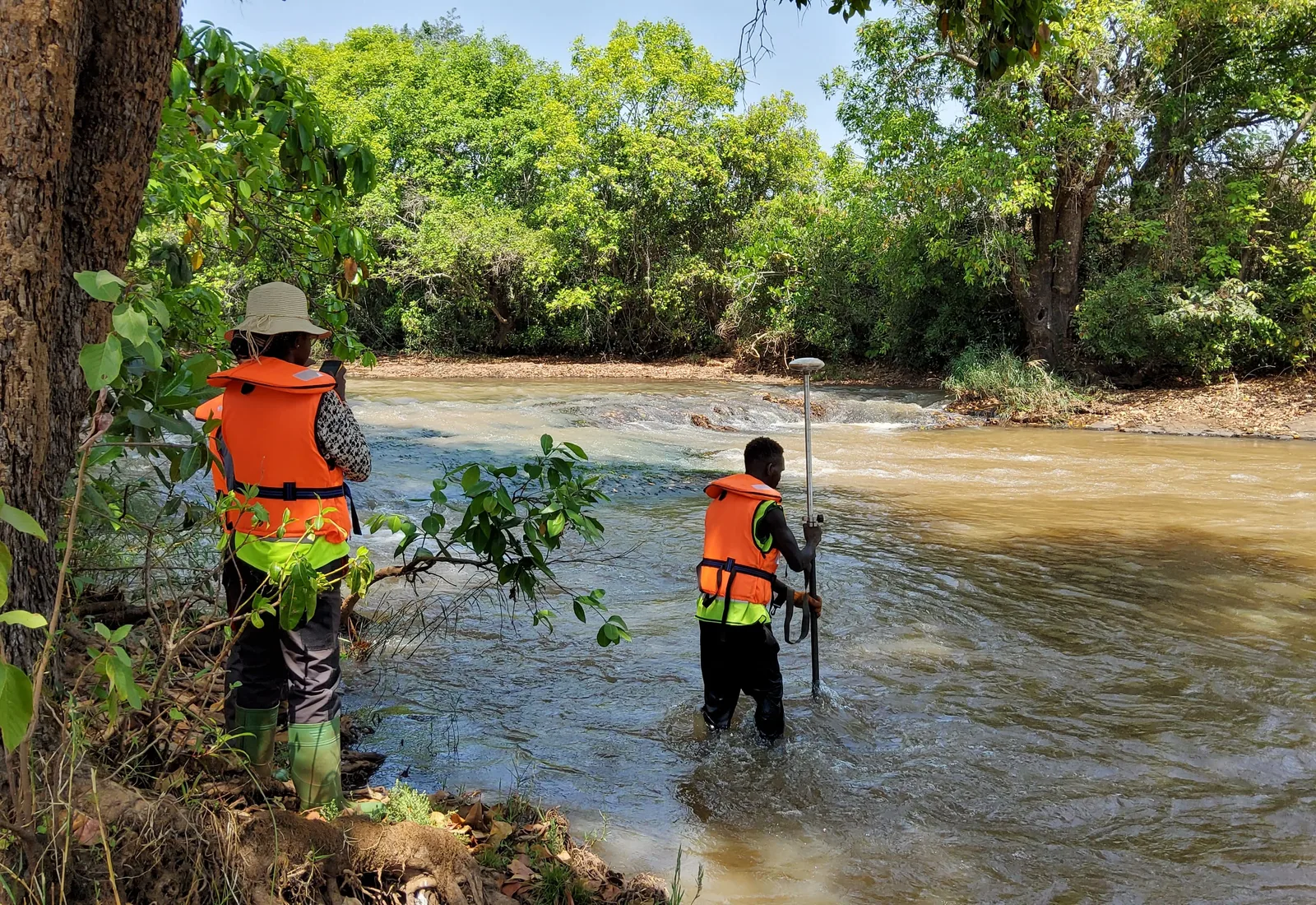
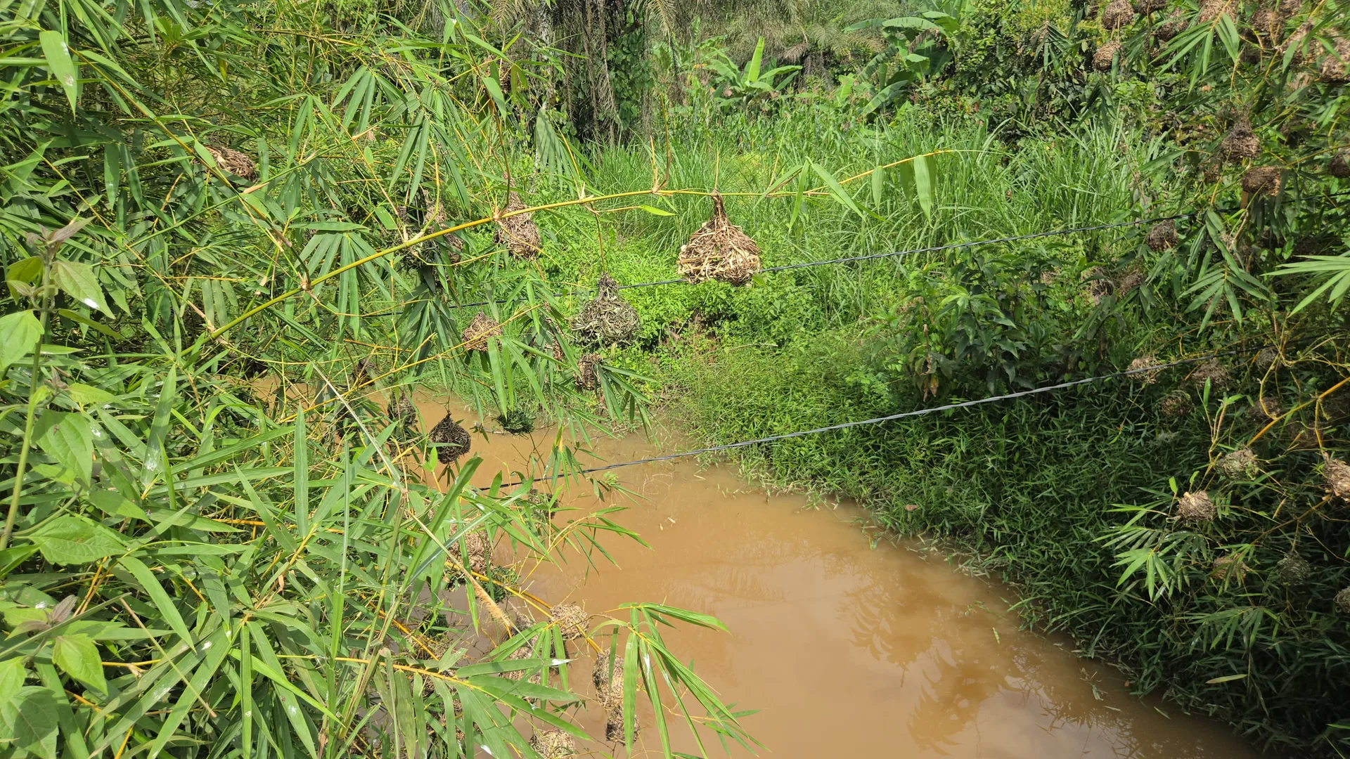
PCH KOUDINI - TopoRTK sur le cours d'eau ( Energie)
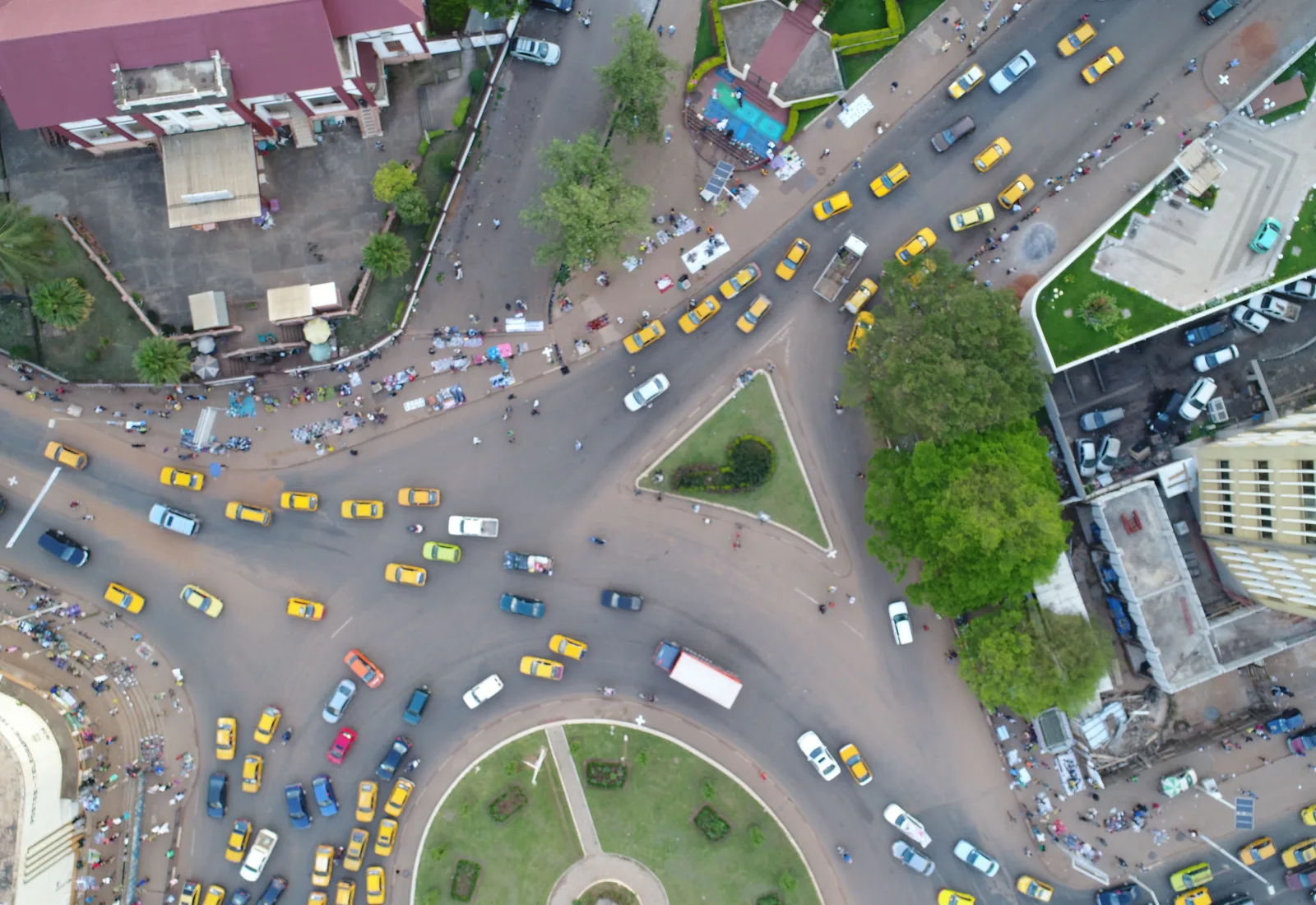
Photogrammétrie par Drone - Poste Centrale Ydé (Aménagement Urbain =
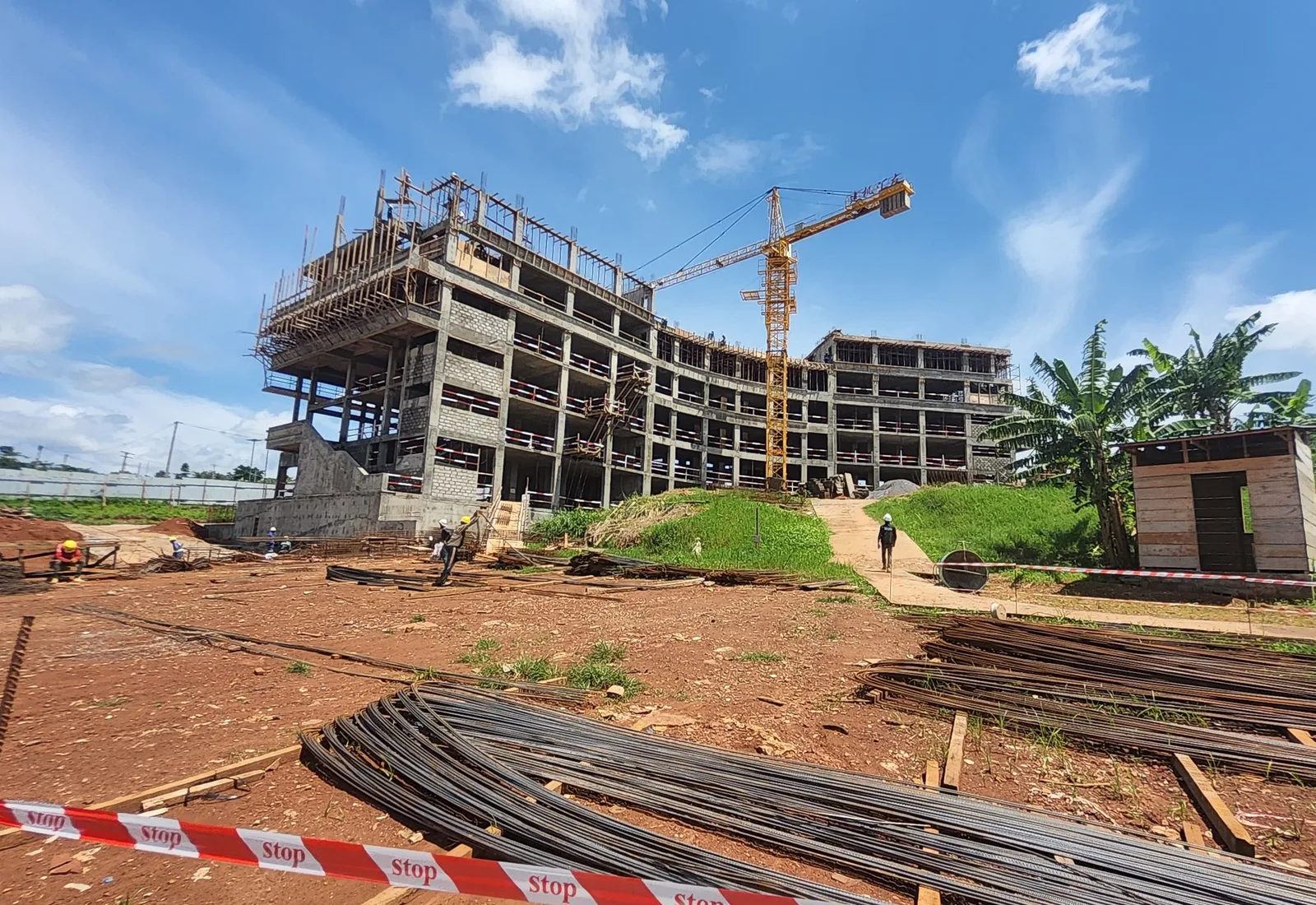
Bâtiment CCAA Ydé - Expertise de Construction (Aéroports )
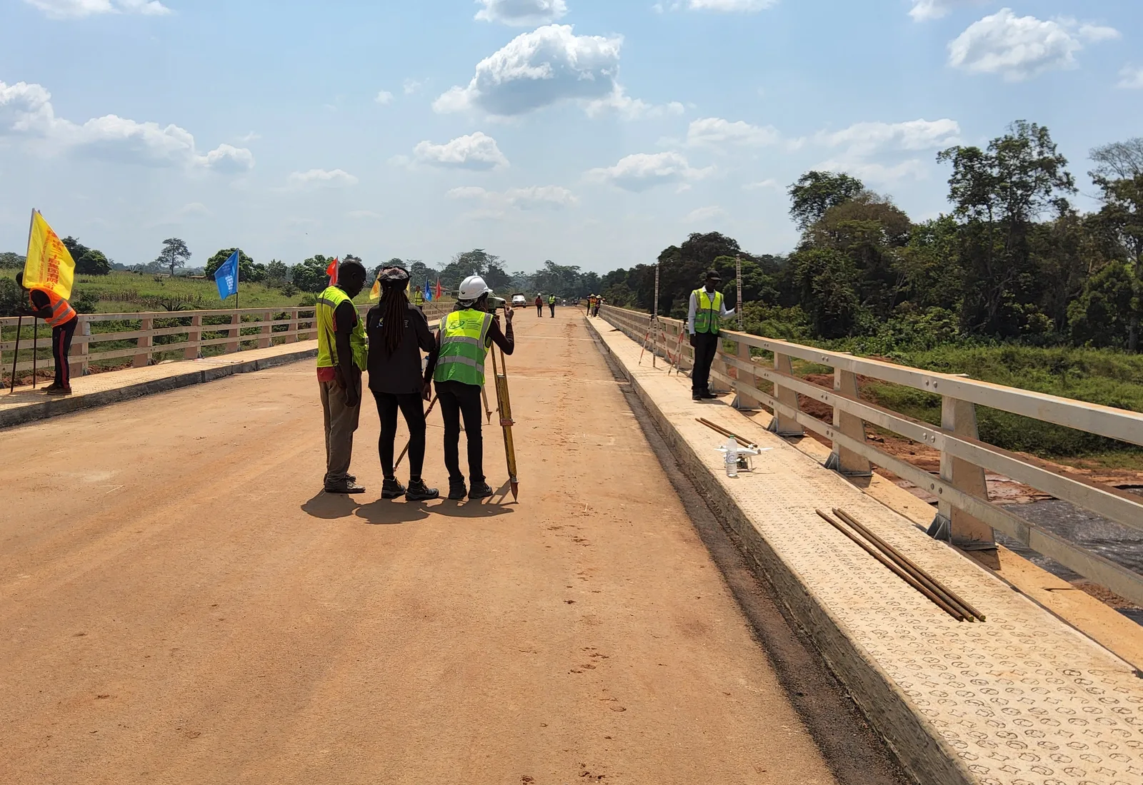
Epreuves topographique de Chargement de Pont (Ouvrages d'Art)
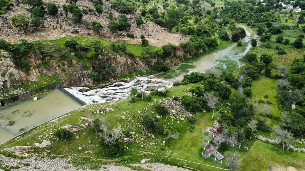
Barrage de Goloza - Bathymétrie (Infrastructure routière)
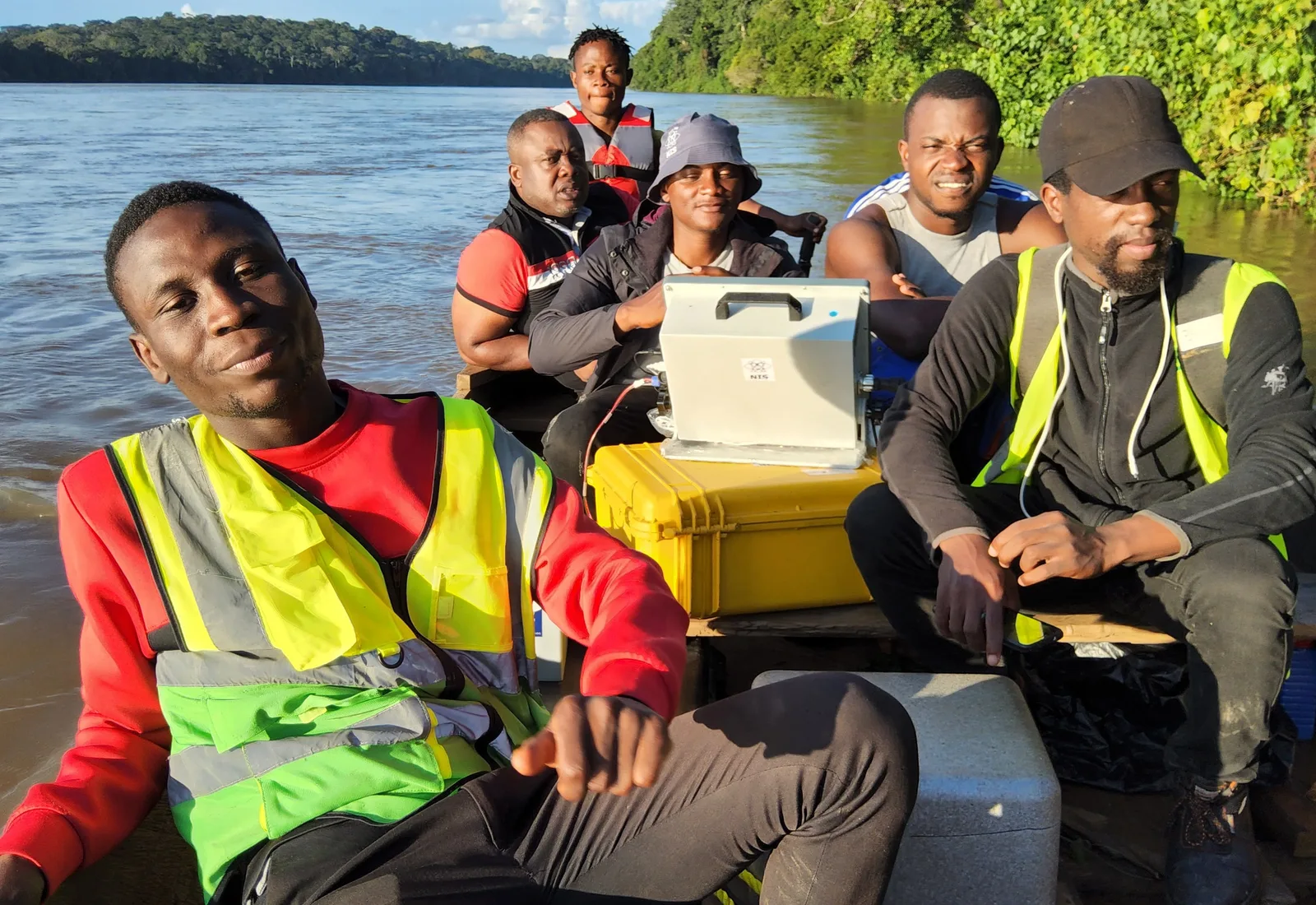
Bathymétrie sur la Sanaga (Carrières)
02 / Key figures
Five practice areas, over three hundred projects delivered, two hundred trainees and an OGEC accreditation that underpins every mission.
Practice areas
Projects delivered
Trainees
Years of experience
Accredited & insured
03 / References
From Lagdo to Nachtigal, from the coast to the eastern borders, our missions reach across the whole of Cameroon. Zoom the map, browse the list or search a project to explore it.
Basemap · Vemaps.com
04 / Gallery
A flagship snapshot: a major energy scheme, a road infrastructure project and a property asset mission. The rest can be explored on the References page.
ETUDES TOPOGRAPHIQUES ROUTIÈRES POUR LE DÉVELOPPEMENT DE LA BOUCLE MINIÈRE DU DJA - CORRIDOR AKONOLINGA - BENGBIS (40KM)
3 of 3 referenced projects
View all references05 / They trust us
50 referenced entities