Formation & Transfert2025
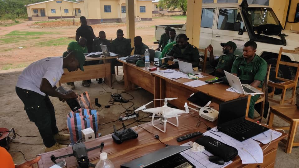
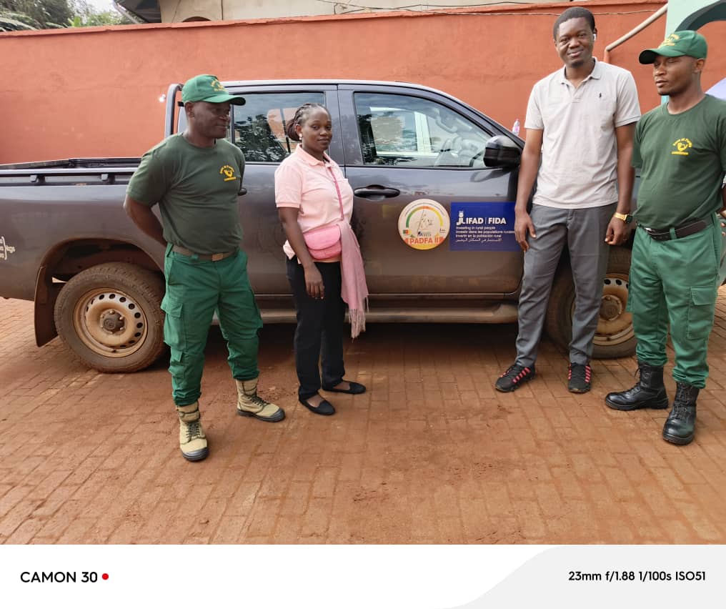
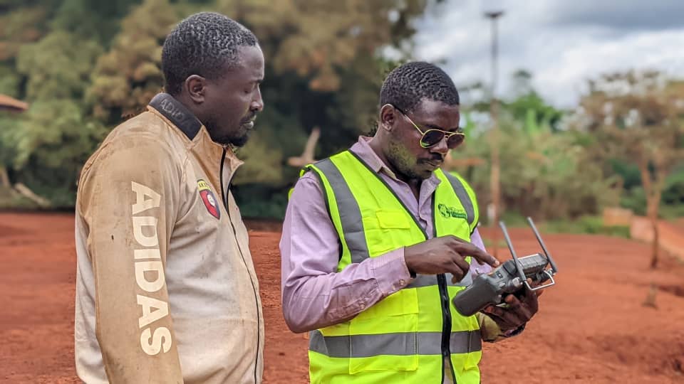
PADFA II (AGREGIR) : FORMATION RECYCLAGE DES ECO-GARDES SUR LES TECHNOLOGIES DES DRONES (REGIONS DU NORD & EXTREME NORD)
- Client
- MINADER/PADFA II/AGREGIR/ALLDIMIR
- Site
- Garoua · Nord & Extreme-Nord
Initialising · NGOMEZ ENGINEERING
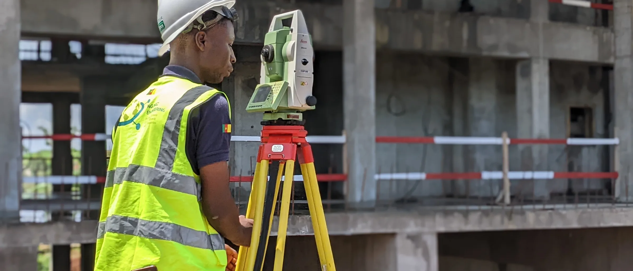
Land surveying at the heart of sustainable development
Loading section
03 / References
From high-precision topographic surveys to the deployment of land information systems, our cutting-edge expertise supports major projects in Cameroon and internationally.
03 / References
From Lagdo to Nachtigal, from the coast to the eastern borders, our missions reach across the whole of Cameroon. Zoom the map, browse the list or search a project to explore it.
Basemap · Vemaps.com
04 / Gallery
Design studies, independent checking, topographic surveys, photogrammetry, BIM modelling — every mission combines several specialisms. Filter by sector or search for a reference similar to your project.
67 projects shown
ETUDES TOPOGRAPHIQUES ROUTIÈRES POUR LE DÉVELOPPEMENT DE LA BOUCLE MINIÈRE DU DJA - CORRIDOR AKONOLINGA - BENGBIS (40KM)
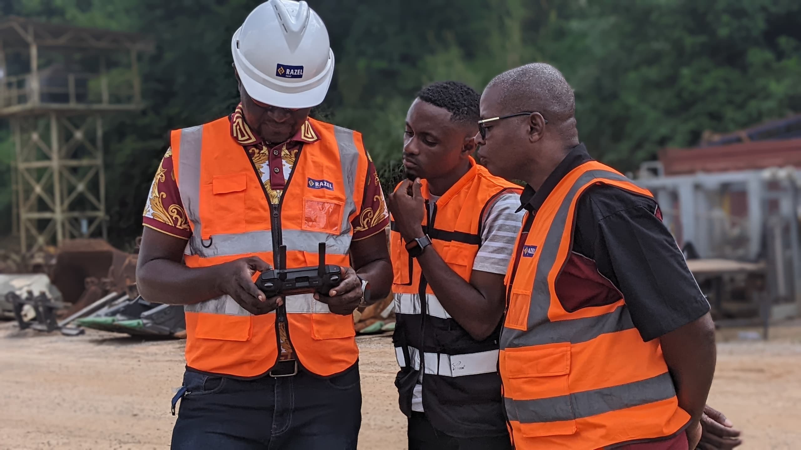
Formation en Photogrammétrie par drone appliquée à la gestion des stocks des carrières
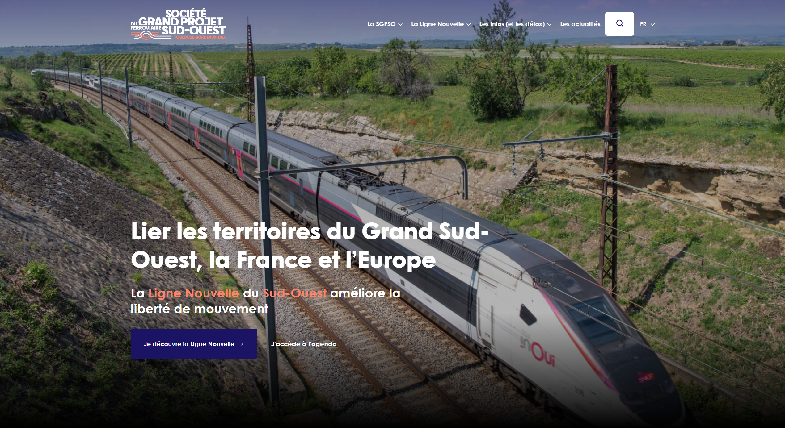
Études topographiques de la ligne ferroviaire à grande vitesse Bordeaux-Toulouse — 222 km.
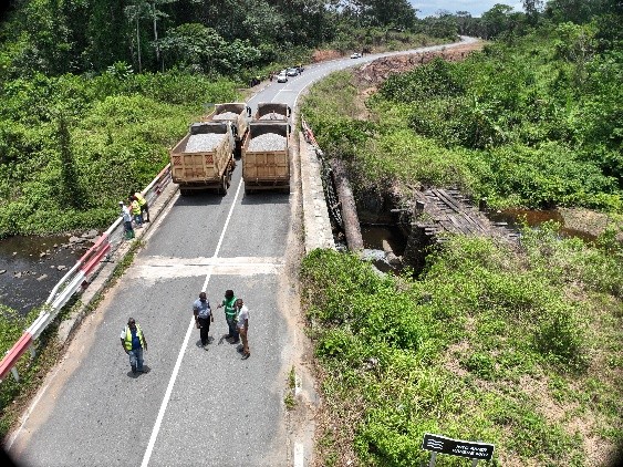
Épreuves de chargement de 7 ponts sur le corridor routier Bonepoupa-Yabassi-Nkondjock.
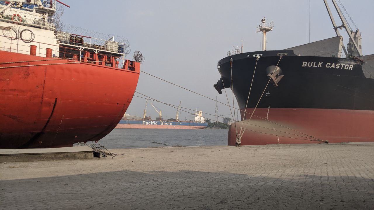
Construction d'un pipeline de 650 ml au sein du Port Autonome de Douala.
04 / Project owners and partners
50 referenced entities